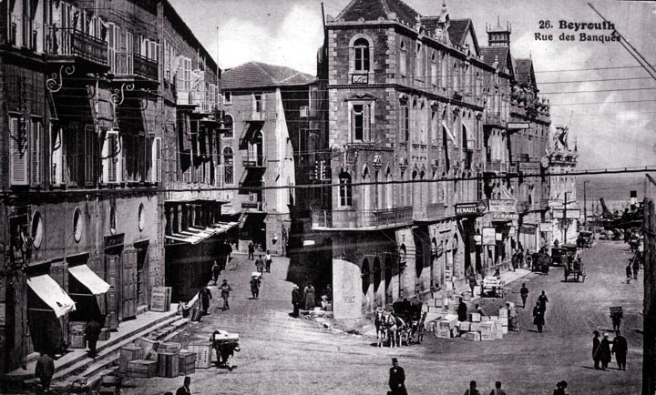
I believe that a wharf must lie just at the end of the street to the right. The area has all the hallmarks of a marine terminal, with crates scattered everywhere. It also appears that there is a wide expanse of water beyond. The layout of this intersection was almost certainly affected by the topography - there appears to be a fairly steep hill rising to the left, and the street that makes off at a shallow angle probably does so in order to mount the hill at a reasonable grade. It is possible to ignore topography in laying out a city, as was largely done in San Francisco, but it makes life a good deal more difficult and dangerous. I used to live on what I believe to be the steepest two-way city street in North America. Not long before I moved there, a tradesman was killed when his truck broken loose and ran him down. The platting of most of San Francisco on a rectilinear grid probably had more to do with immediate economy and expedience than careful thought. Grids are quick and easy to survey, and they were applied to almost all towns west of the Mississippi. Many of these towns were originally owned entirely by the railroads that passed through, and the sale of lots was an important source of income for the railroads.
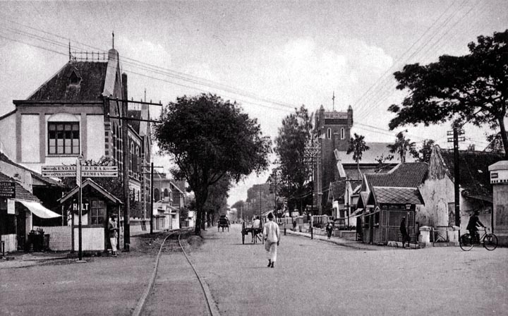
This is one of the most recent photographs used here, probably dating to about 1930. There are several cars in the distance, and the thick telephone cable is a relatively late development. Notice, in fact, how much the cabling detracts from the appearance of this scene.
|
 Next City Design Home
E-mail |